 |
| Totems in Gitwangak village |
This area is home to the rare white Kermodei Bears (locally the name was always spelled with the final "i"), known as Spirit Bears by the native peoples. A good article on the bears appeared in National Geographic in August 2011.
The next morning, just past the Seven Sisters Mountain Range, we stopped at the tiny native village of Gitwangak to see a collection of historic totem poles. The totems have been moved over the years to avoid flooding, but they are the largest totem collection in their original village anywhere in British Columbia.
As we drove around the village photographing more carvings in peoples' yards, wondering if it was appropriate to do so, a truck pulled up. A local gentleman got out and approached our car window. Apologizing in case he had startled us, he explained that he was a local Chief and was curious to know why were were there. Not because he had a problem with us being there, but rather because he wanted to find a way to draw more visitors, and thus bring more income, to the village. We didn't fully understand the situation, but it has something to do with the BC government not allowing the native tribes to advertise.
 |
| Gitwangak village and totem |
Recently I found this blog post about the Gitwangak band. Scroll to the bottom for more information about the individual totems we saw.
We drove the rest of the day straight through, staying in McBride, BC that night, just an hour west of Mt Robson Provincial Park.
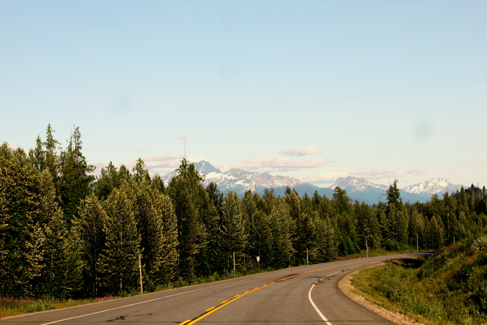 |
| The road to McBride, BC, Canada |
Here's a map of this segment of the trip, from Prince Rupert to McBride, BC.
View Larger Map
No comments:
Post a Comment